How Archaeologists Find and Date Ancient Sites Using Lasers, Satellites and Chemistry
Modern archaeology relies on far more than shovels. From airborne lidar to radiocarbon dating and ancient DNA, here is how researchers locate buried sites and work out how old they are.

The popular image of archaeology involves a lone explorer stumbling upon a lost city. The reality is more methodical, more collaborative and increasingly technological. Today, many sites are identified before anyone picks up a trowel, and much of the most revealing work happens later in laboratories.
Here is a look at how archaeologists locate sites, excavate them responsibly and establish when people lived there.
Seeing through forests and fields
One of the most transformative tools of recent decades is lidar, short for light detection and ranging. An aircraft or drone fires rapid laser pulses at the ground and records how long each takes to bounce back. Some pulses reflect off leaves and branches, but others slip through gaps in the canopy and reach the ground. By filtering out the vegetation, researchers can build a detailed model of the terrain beneath.
In densely forested regions, lidar surveys have revealed the outlines of ancient settlements, roads, terraces and earthworks that were almost impossible to map on foot. In farmland, subtle bumps and hollows can betray long-vanished field systems or burial mounds.
Satellite imagery helps too. Buried walls and ditches affect how crops grow above them, producing patterns known as cropmarks, which can be especially visible during dry summers. Archaeologists study these from the air and from satellite photographs to identify promising areas.
Looking underground without digging
Once a site is identified, researchers often survey it with geophysical instruments before excavation. These methods detect differences in the soil without disturbing it:
- Magnetometry measures small variations in the Earth's magnetic field caused by features such as hearths, kilns and filled ditches.
- Ground-penetrating radar sends radio waves into the soil and records reflections from buried structures.
- Electrical resistance surveys measure how easily current flows through the ground, which changes around stone walls or damp pits.
- Systematic field walking records surface finds such as pottery fragments to map where activity was concentrated.
Non-invasive survey matters because excavation is, by its nature, destructive. Once soil is removed, its original layering cannot be restored. Many archaeologists now aim to dig only what is necessary to answer specific questions, leaving the rest for future researchers with better techniques.
Reading the layers
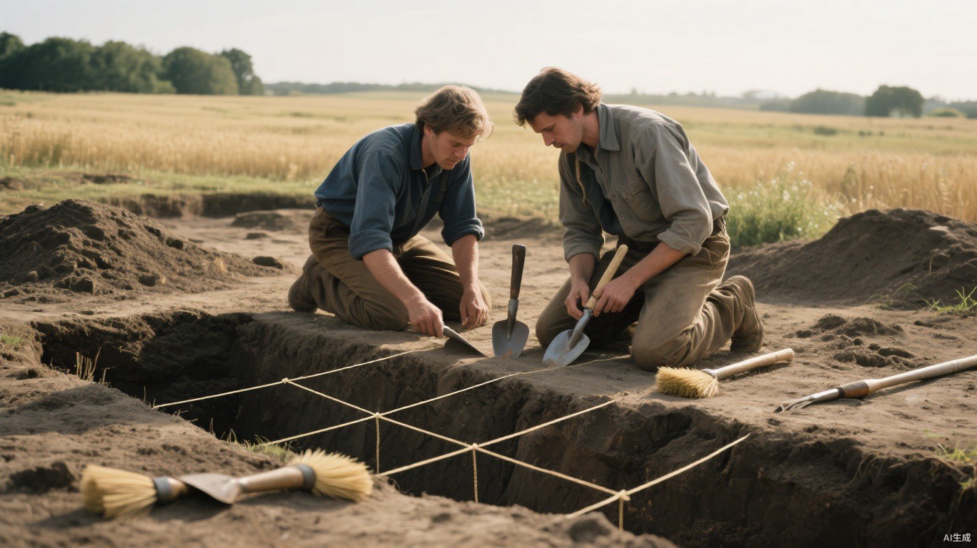
When excavation does happen, it is slow and carefully recorded. Archaeologists work through the soil layer by layer, a practice grounded in stratigraphy. In general, deeper layers were deposited earlier than those above them, so the sequence of layers provides a relative timeline.
Every find is recorded in three dimensions, photographed and catalogued. Soil samples may be sieved or floated in water to recover seeds, small bones and charcoal. An excavation director on a long-running rural project described the mindset.
We are not really digging for objects; we are reading a sequence of events, and the soil itself is often the most important document we have.
Putting dates on the past
Stratigraphy tells you what came before what, but not how long ago. For that, archaeologists turn to scientific dating methods.
The best known is radiocarbon dating. Living things absorb carbon, including a small amount of a radioactive form called carbon-14. When they die, they stop taking it in, and the carbon-14 decays at a known rate. By measuring how much remains in a sample of bone, wood or charcoal, scientists can estimate when the organism died, typically for material up to around 50,000 years old. Results are calibrated against records such as tree rings to account for past variations in atmospheric carbon.
Tree rings themselves offer another method, called dendrochronology. Because ring widths vary with yearly growing conditions, long sequences of rings can be matched against master records, sometimes dating timber to the exact year it was felled. Other techniques, such as luminescence dating, estimate when sediments or pottery were last exposed to light or heat.
The laboratory revolution
Some of the biggest recent advances have come from biomolecular science. Ancient DNA recovered from bones and teeth can reveal how populations moved and mixed over thousands of years. Chemical analysis of isotopes in teeth can show where a person grew up, while residues absorbed into pottery can indicate what foods were cooked in it.
These methods have reshaped long-standing debates, sometimes confirming older theories and sometimes overturning them. They also raise ethical questions about the treatment of human remains and the involvement of descendant communities, which many research teams now address through consultation and shared decision-making.
Archaeology has always been about patient interpretation of fragmentary evidence. The tools have changed enormously, from lasers in the sky to sequencing machines in the lab, but the core work remains the same: careful observation, honest uncertainty and a willingness to revise the story as new evidence emerges.